WAYNE NORMAN FLIES A PLANE OVER EASTERN CONNECTICUT
On June 12, 2006 WILI’s Wayne Norman (with a tiny bit of help from Windham Aviation owner Brian Sutch) flew a single engine Cessna 172R around Eastern Connecticut for 90 minutes. That interview played back on Wayne’s show Wednesday morning June 14. Here are photos from that flight.

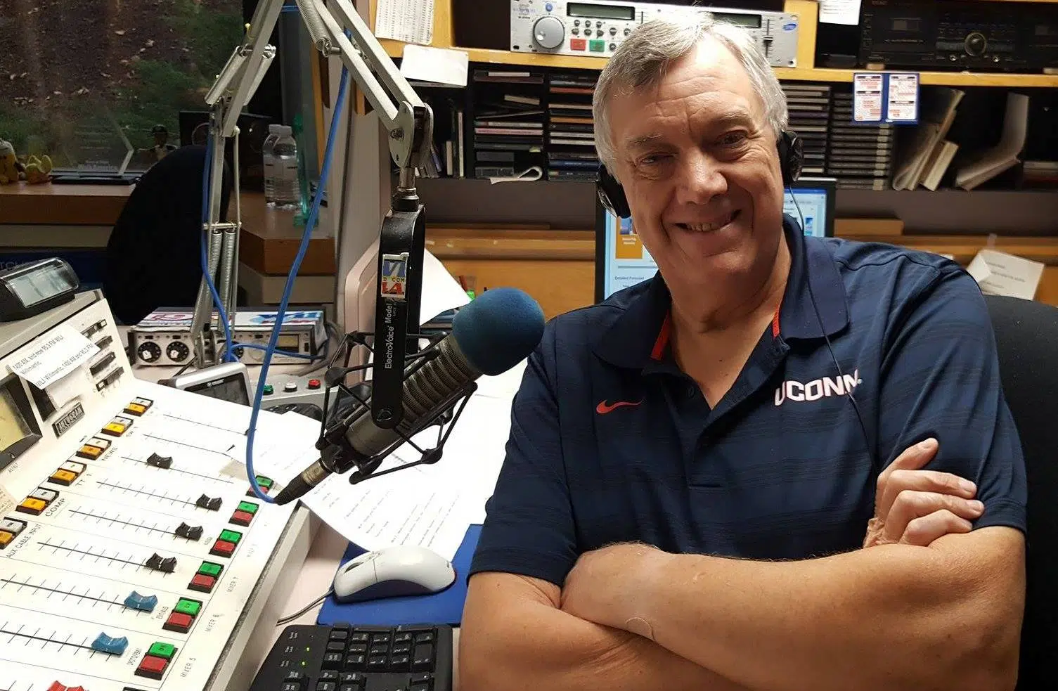
Wayne Norman and Brian Sutch

Looking south. Windham Airport on left. Mansfield Hollow Dam on right.

Windham Airport on right. Route 6 Expressway on left.

Looking north. Mansfield Hollow Dam Lake is beyond Windham Airport. Willimantic Water Works is to immediate left of runway 36. Willimantic Country Club lower left. Eastern portion of UConn is at upper left.

ECSU’s baseball stadium and track, and Mansfield City Road.

Freedom Green and Circle Drive are across from ECSU’s Baseball Stadium. Route 6 is at far right. Eastbrook Mall at center right. Windham Airport at upper right.

Looking north to UConn. Gampel Pavilion is the white dome in the center. Dunham Pond off South Eagleville Road is in the foreground.

Eagleville Dam Lake, looking north

The Electromotive building on the south side of Willimantic

Heritage State Park at Windham Mills, with the Thread City Crossing “Frog Bridge” on the right

Looking east over Bassett’s Bridge Road in Mansfield and the boat launch for Mansfield Hollow Dam Lake

Looking north up Route 89 to Southeast School and the Fenton River’s confluence to Mansfield Hollow Dam

Looking north to UConn


Looking west to Coventry Lake and Coventry High School

Looking south toward downtown Willimantic

Windham Middle School with West Main Street, Willimantic in the background

ECSU on the left, across from Windham Tech’s baseball field

Looking west, with the Windham Mills on the right and Electromotive in the center

Looking north, up Route 32 in South Windham. Shetucket River on right. Route 203 intersection in the center. Orange roof at bottom is the former Charter and Watson building. Green roof above it is All You Need For Sleep. Former Rogers Corp is at top left. Miller Brothers Moving is just below that.

The Willimantic Country Club with Route 66 passing on the left

Mansfield Hollow Dam in the center

Nearing final approach, looking south to the Mansfield Hollow Dam boat launch

The Mount Hope River as it approaches Mansfield Hollow Dam Lake

Looking west past the boat launch
At this point, Wayne put down the camera and interviewed Brian as he made a smooth landing at Windham Airport.
Photos and captions by Wayne Norman.